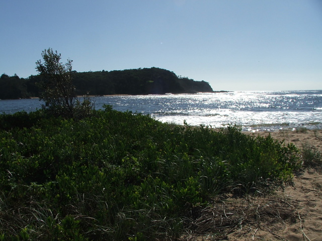
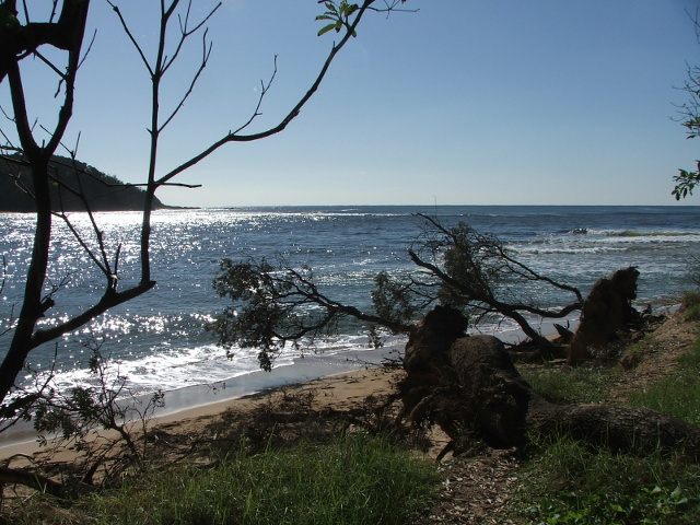
For most of the past 20 years this river mouth has been closed or mostly closed by sand hills running right across to the rocks on the far side.
Then we had that flood, and look at it now !!!
The river now looks a bit like it used to way back when. Originally, large steamers could navigate this river up to about 10 – 15 km inland.
Now it is so full of sand and gravel that you can walk most of that.
The sand and gravel is a result of soil erosion in the river catchment. The erosion started when Europeans settled the area about 150 years ago and started clearing the forest cover.


